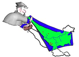
Rectifying Images
Give improved, map-like geometry
to airphotos, satellite images, and airvideo frames by removing their
systematic distortions of distance, perspective, and other factors. Image
rectification processes reduce image distortion so that your images can
serve as accurate map bases. You add map control points to the images, and
select the type of rectification process that you want to rotate and
stretch the image so that it matches the control points.
![]() add ground control
add ground control
![]() choose any projection
choose any projection
![]() select interpolation method
select interpolation method
![]() select scale / orientation
select scale / orientation
![]() match reference image
match reference image
![]() any coordinate system
any coordinate system
![]() automatic rotation / resizing
automatic rotation / resizing
![]() trim output
trim output
![]() process multi-band rasters
process multi-band rasters
![]() rectify vectors / CAD
rectify vectors / CAD