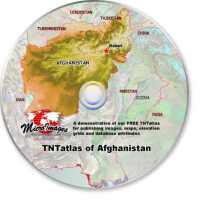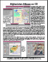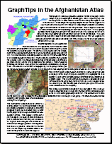
Four sample atlases of Afghanistan have been published on a sample CD by MicroImages. The CD demonstrates the use of MicroImages� FREE TNTatlas software, which can be distributed FREE on a CD, DVD, or other media along with digital map, image, and database materials in a geographically interrelated atlas structure. The sample geodata used in these atlases has been deliberately designed to fit on a CD instead of a DVD so it can be used on almost any computer. However, please note that by using compression methods, such as JPEG2000 and others, a large collection of geodata and the TNTatlas software can be provided on a CD. These atlases also demonstrate some of the newest interactive features that can be designed and used in TNTgis software and incorporated into a TNTatlas. Choose from the four different atlases to experiment with the use of different types of maps and images with scale range control and to explore the wealth of additional information provided in linked, external files in other common formats, which include PDF and HTML.
Documentation:
 Description of Data provided with Afghanistan Atlas
 Display Control Scripts used with Afghanistan Atlas
- label_management.sml
- population_pie.sml
- roads_Profile.sml
- Slope_Aspect.sml
- urbanization_pie.sml
- All 5 scripts in one .zip file: AfghanScripts.zip
- Afghanistan Sample Atlas in TNT products V7.0 Release Notes (November 2004)


